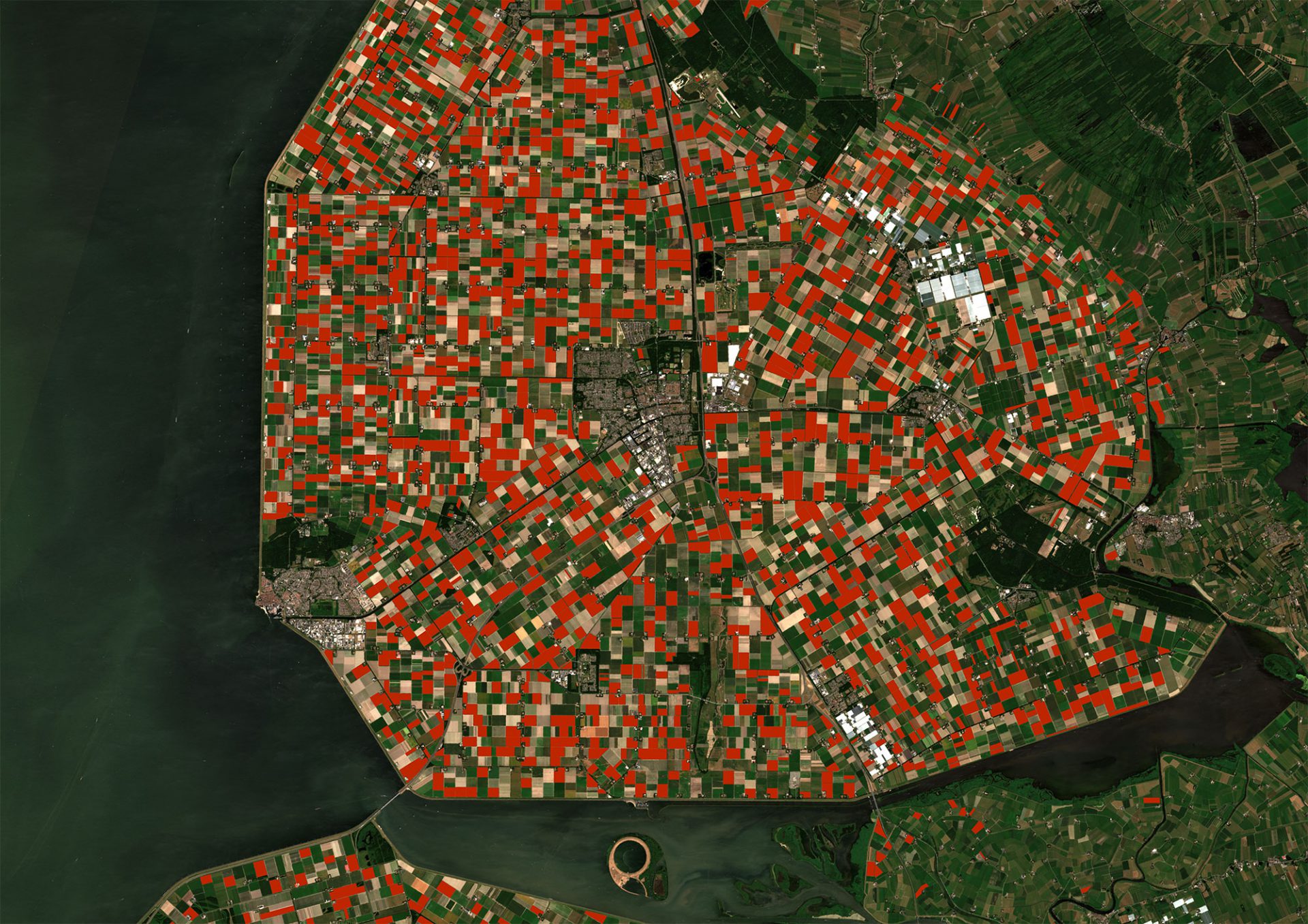
As GEO4A team we managed a great job togehter with the passionated and dedicated GeoVille’s agriculture team, in close cooperation with our client Breeders Trust! Doing what many believed to be impossible: Mapping potato varieties with satellite data. We had to develop an innovative proprietary Hyper-F technology to crack this nut.