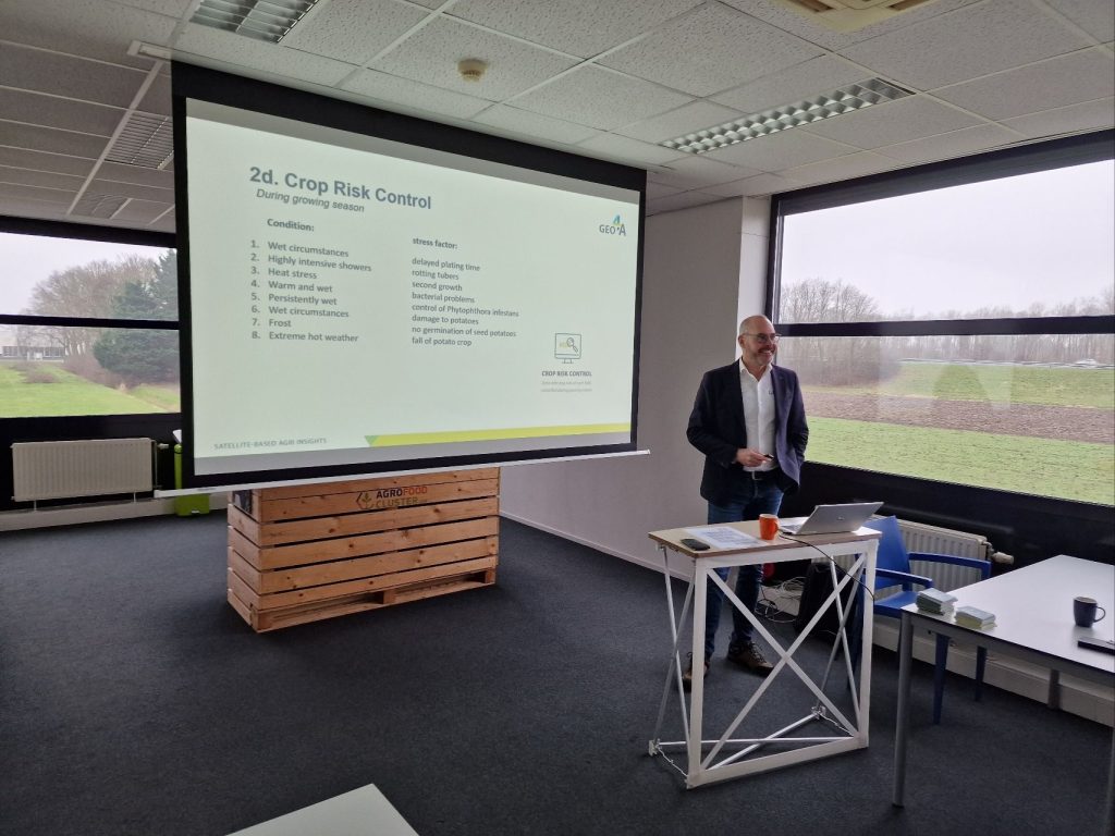
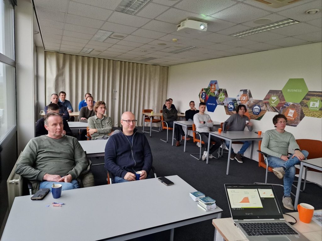
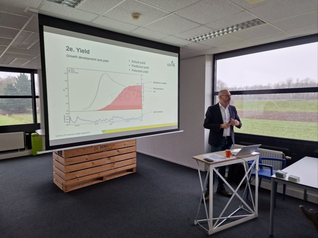
Invited by the #NAO (Dutch Potato Organization) to give an introduction on Remote Sensing application in the potato value chain, to the participants of the 33rd executive course of the Potato Study Center.
This course of the NAO provides broad orientation and training within the potato sector.
I introduced the group to the digital capabilities, products and services that #GEO4A offers to the potato industry. I gave the attendees insight into the digital world, how satellite data, in-situ data and meteorological data are converted into valuable and useful information for the user. There were many questions, such as how do satellites work, how do you get real-time data in the growing season, how does your hybrid model work?
